Panel gives final OK to new San Diego City Council boundaries that reunite neighborhoods

Critics say new map, which was approved 7-2, doesn’t do enough to boost voting power of minority groups
Several San Diego neighborhoods will be reunited politically for the next 10 years under new City Council district boundaries approved 7-2 Wednesday night by a volunteer redistricting panel.
The new boundaries, which must be redrawn every 10 years in response to new U.S. Census data, reunite Clairemont, Linda Vista, Normal Heights and Rancho Peñasquitos — four neighborhoods that were chopped up in 2011 redistricting decisions.
Other significant features of the new boundaries include the creation of a heavily Asian district stretching from University City to Mira Mesa, and the connection of Pacific Beach to La Jolla instead of the city’s other beach neighborhoods.
Mission Beach, Ocean Beach and Point Loma will be connected for the first time to Clairemont in a dramatically redrawn District 2 that was key to the entire nine-month redistricting process.
The volunteer panel, the San Diego Redistricting Commission, took a pivotal vote Nov. 13 to redraw District 2 instead of making even more aggressive changes that would have boosted the voting power of ethnic minorities.

Map, which keeps UCSD tied to La Jolla, could be tweaked during five public hearings before Dec. 15 deadline
Some critics said Wednesday the panel should have prioritized minority voting power and chosen the other option, called the Collaborative Communities Map. They said compromise in San Diego always seems to come at the expense of minorities.
The two commissioners who voted against the new boundaries — Monica Hernandez and Justine Nielsen — cited the impact on the political power of minorities as their primary reason.
Commission Chairman Tom Hebrank said the commission addressed minority voting power while also focusing on a long list of separate concerns, including the reunification of several neighborhoods and balancing the population among the city’s nine districts.
While the panel rejected requests by UC San Diego students to sever the university from La Jolla, Hebrank noted that the University City community where many students live was shifted away from La Jolla into an Asian district.

Redistricting controversies include proposal for two heavily Latino, one heavily Black district
The new map makes District 6 just over 40 percent Asian, which was a key goal for the commission and several groups focused on minority power. That’s a significant increase from 34 percent under the previous boundaries.
The percentage of Asians in District 6 who are citizens and old enough to vote increased from about 29 percent to 32.6 percent.
The new boundaries also leave the city with three heavily Latino districts. But critics noted that Latinos only make up 43.5 percent of District 9 residents and 47.1 percent of District 4 residents, not majorities.
District 8, which includes Barrio Logan and all border communities, is nearly 76 percent Latino.
Five of the city’s nine districts have populations that are more than 50 percent white.
Citywide, whites make up 40.7 percent of the population, but 51.2 percent of the citizens who are old enough to vote. Latinos make up 29.7 percent of the population, but 23.3 percent of the citizens who are old enough to vote. Asians are 17.5 percent of the population and 14.9 percent of the citizens old enough to vote.
An attorney hired by the city to evaluate the final map said this week that he is confident it can survive legal challenges under federal and state voting rights laws.
“In my view, the Final Map and Plan is legally defensible as compliant with the laws that govern the Commission’s work,” said Craig Steele of Richard Watson Gershon Law in Los Angeles.
“I am aware of no credible evidence that any intentional discrimination has occurred in your process to date,” he said. “The Final Map and Plan lay out strong race-neutral policy and practical reasons for the proposed district boundaries.”
He said the map doesn’t commit either of the two main violations of voting rights law, improper dispersal of minority voters into multiple districts or over-concentration of minority voters to dilute their power.

Dividing San Diego’s 1.39 million people evenly among the nine districts forced the panel to make some compromises they called frustrating Wednesday, such as dividing Scripps Ranch between District 5 and District 6 and moving Old Town from District 3 to District 2.
The final map has a deviation of 6.4 percent between the most populated — 159,000 residents in District 5 — and the least populated — 149,000 residents in District 4. Commissioners said they were comfortable with that deviation.
In addition to reuniting several communities that were divided in 2011, the map reorganizes several neighborhoods in southeastern San Diego.
Shelltown and Southcrest move from District 9 to District 8, Redwood Village and Rolando Park move from District 4 to District 9, and Stockton moves to District 9. In addition, Webster and Ridgeview are now united in District 4.
Wednesday’s vote launches a 30-day period where residents can raise objections before the map becomes official.
Get Essential San Diego, weekday mornings
Get top headlines from the Union-Tribune in your inbox weekday mornings, including top news, local, sports, business, entertainment and opinion.
You may occasionally receive promotional content from the San Diego Union-Tribune.

More from this Author


More in this section
President Biden will travel to Florida on Tuesday to denounce that state’s six-week abortion ban - just days before the law goes into effect - in his latest push to blame former president Donald Trump for the erosion of reproductive rights across the country.
Former president Donald Trump is now on trial in a Manhattan courtroom, where facts are paramount, and a jury will assess the evidence and render a verdict.
Liens against the buyer’s properties raise new questions about the mayor’s proposed long-term effort to ease the effects of homelessness
Housing Commission scrambles to deal with reduced funding; governor ties local money to signs of progress in moving people out of homelessness
President Joe Biden has signed legislation reauthorizing a key U.S. surveillance law after divisions over whether the FBI should be restricted from using the program to search for Americans’ data nearly forced the statute to lapse
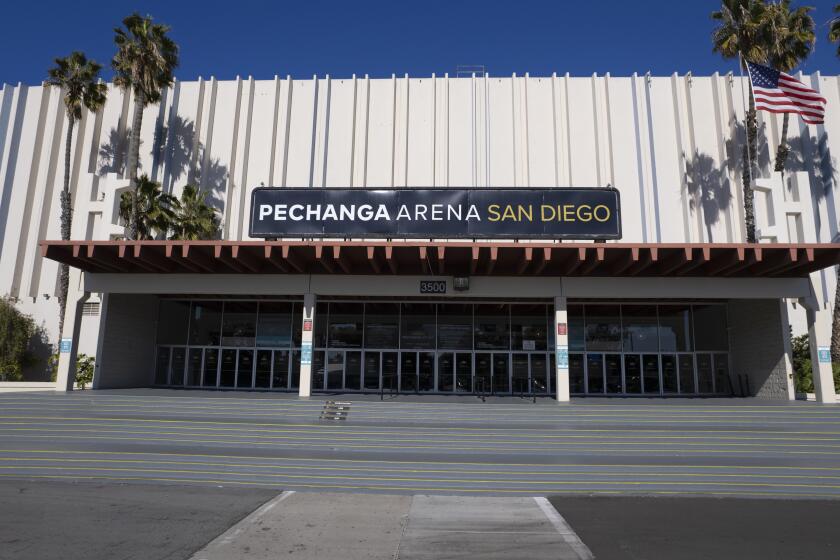
A recent report determined that the concrete arena is eligible for local, state and national registries based on its connection to an important period, its ties to a significant person and its association with a lauded architectural style


