A great workout hike — with stunning views
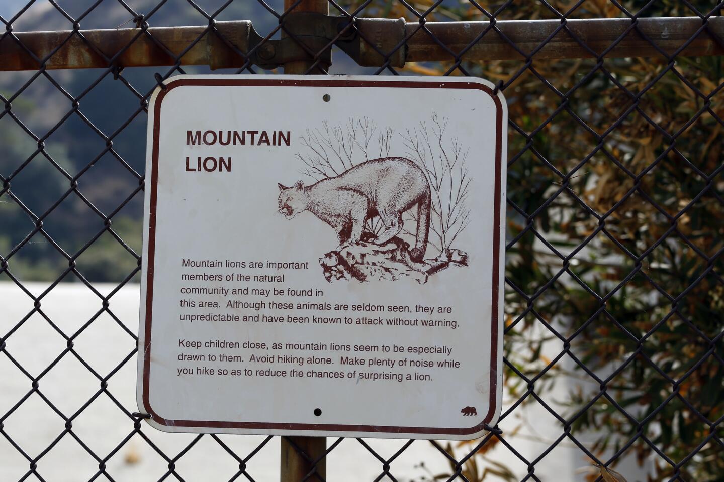
The Verdugo Mountains separating the communities of Montrose and La Crescenta from Glendale and Burbank rise sharply and present impressive city and valley views. Here’s a brisk hike that will get you to the top in a hurry — huffing and puffing. Go early in the day to beat the heat. Take lots of water. Go clockwise on this loop trail for the fast, steep route; go counterclockwise for a shadier, more gradual approach. Either way, be mindful that you share the mountain with rattlesnakes and, according to posted signs, mountain lions.
1. Begin this walk on Beaudry Boulevard, just off Country Club Drive near the entrance to the Oakmont Country Club. Leave Beaudry on a narrow, paved alley that approaches a wide yellow gate and becomes a dirt road.
Find more great L.A. Walks — maps included >»
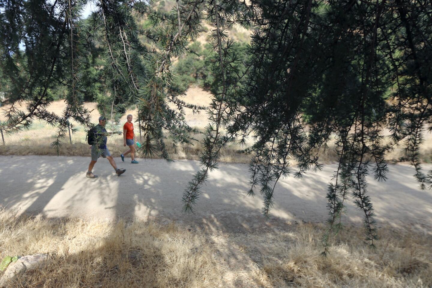
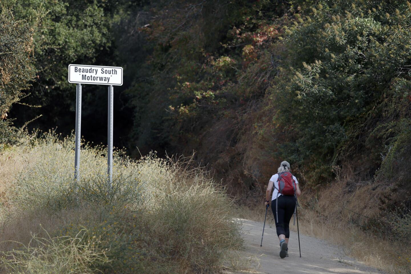
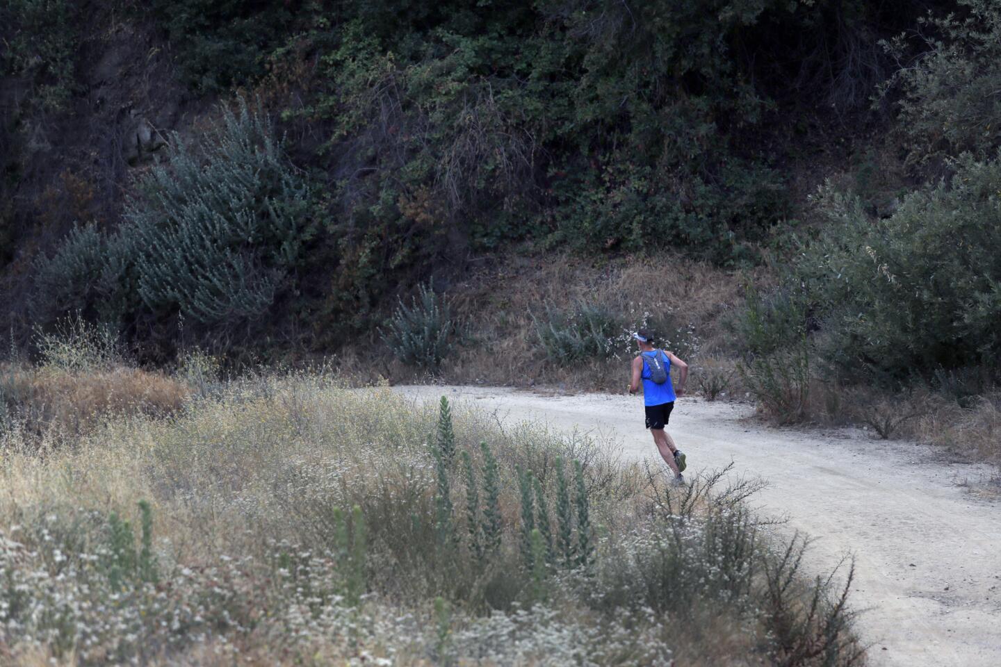
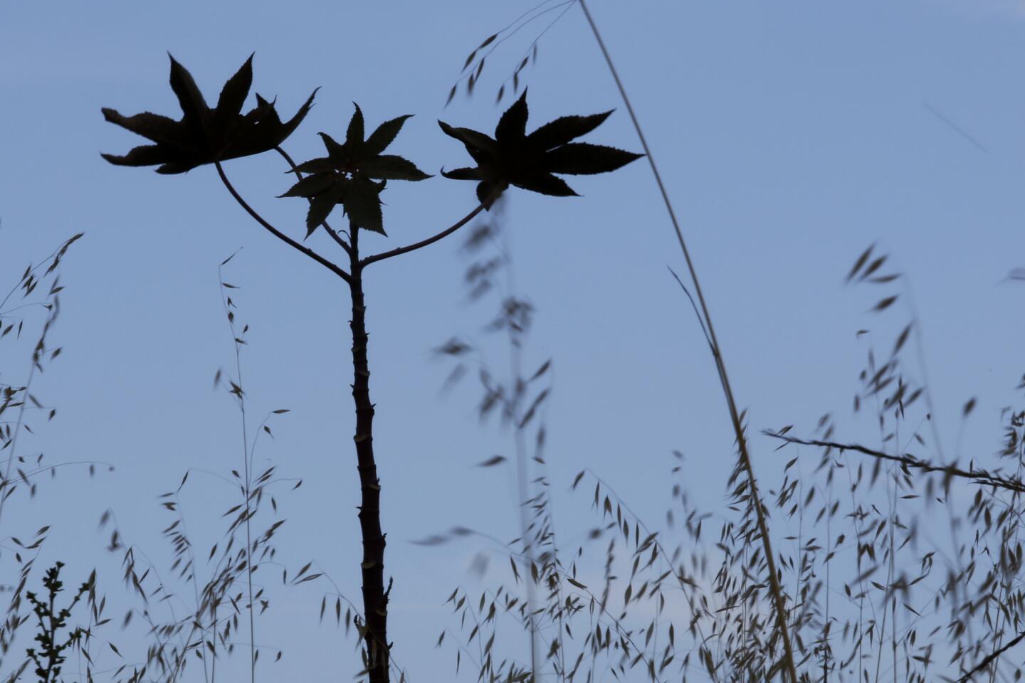
2. Stroll under oak, sycamore and pine trees as the trail begins to rise slightly. At the intersection of Beaudry South and Beaudry North Motorways, go left for the steep route or right for the gentler climb.
3. Follow the main trail, climbing until Beaudry Motorway meets Verdugo Motorway, which connects to trails leading to La Tuna Canyon, Glendale or Burbank. If you’re climbing the North route, turn left and walk downhill. If you’re on the South loop, bear right.
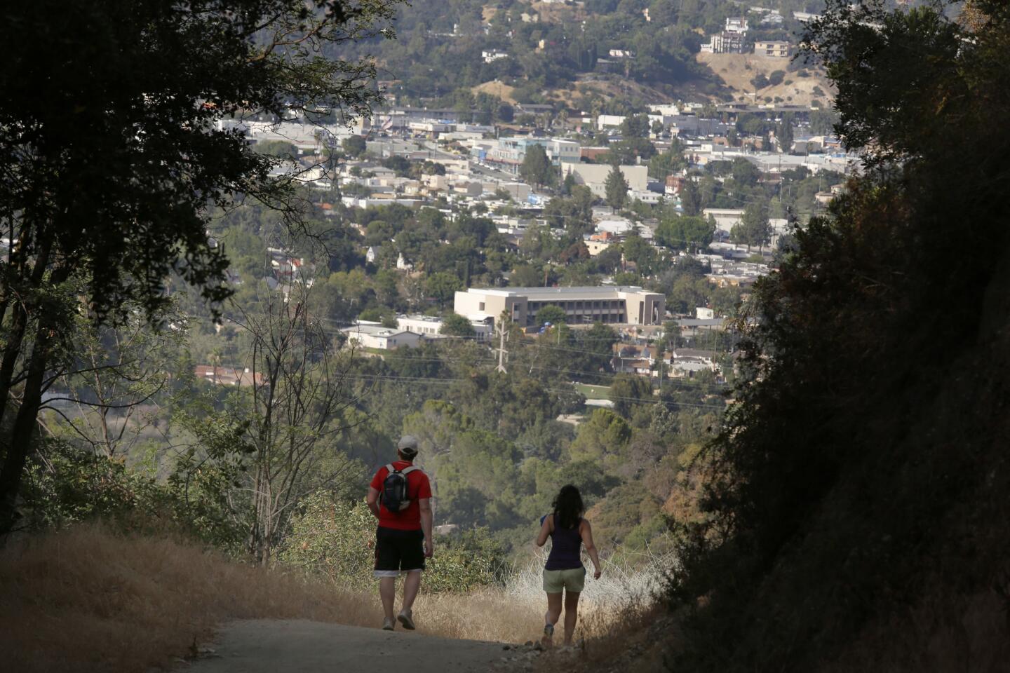
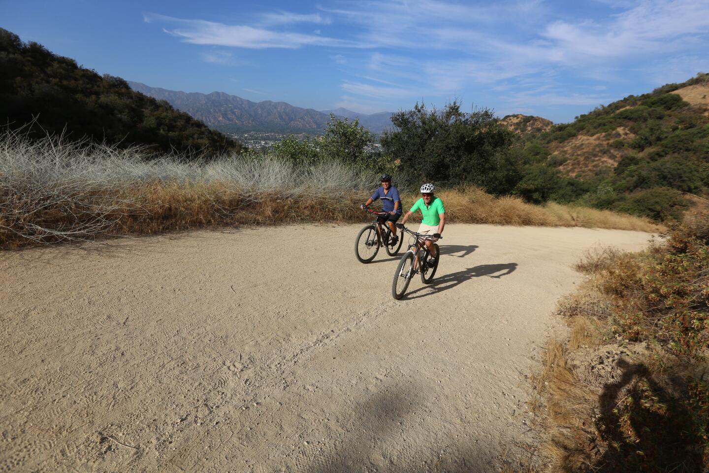
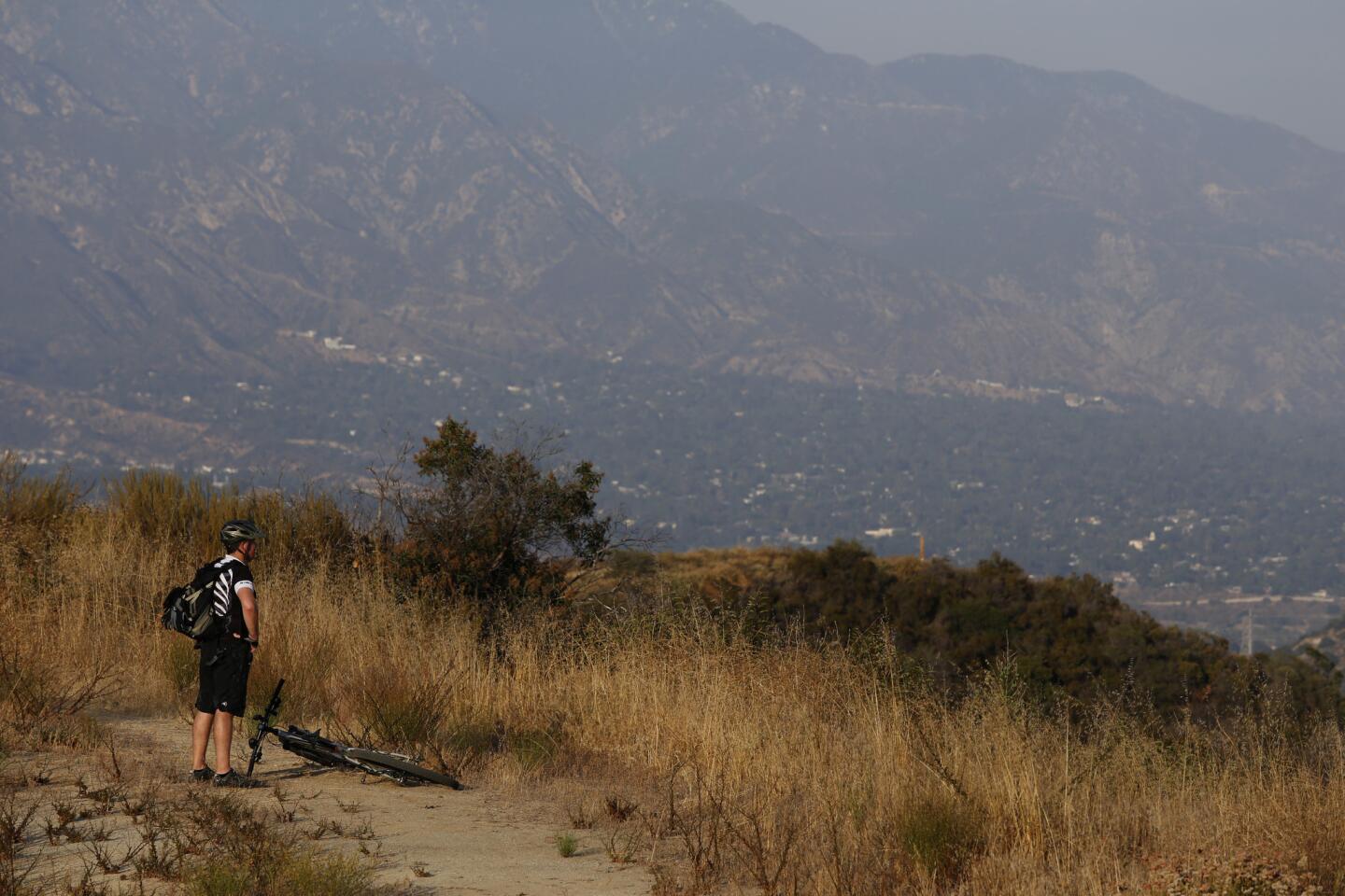
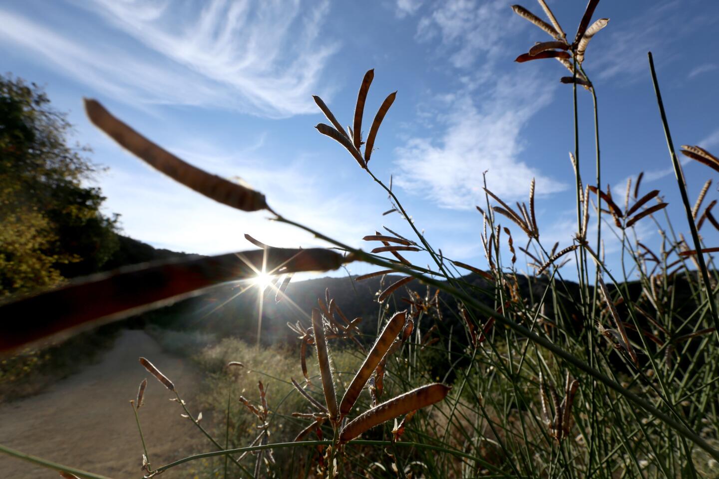
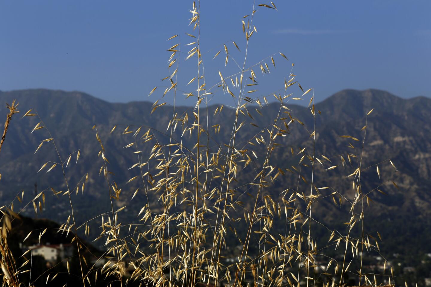
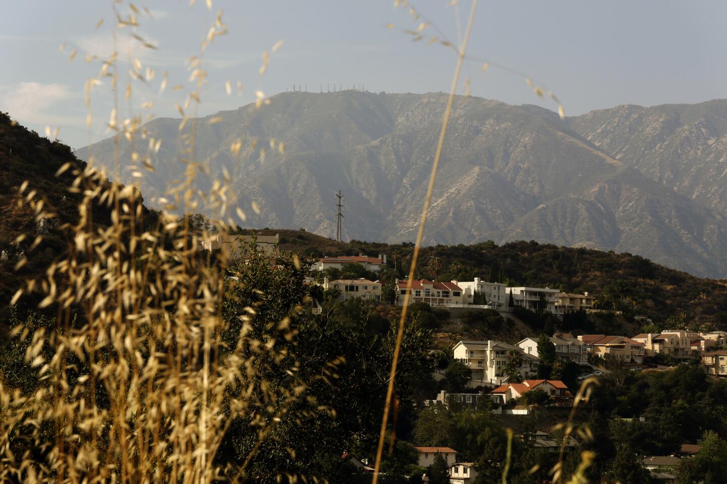
4. The scenery as you climb includes wide vistas of Montrose, La Crescenta and La Cañada Flintridge behind you and, increasingly, massive views of Glendale, Burbank, Pasadena and downtown Los Angeles ahead of you. The city view can be murky on a June gloom day, but is particularly good on clear ones.
5. At the top, you’ll find a plaque for Tongva Peak, which at 2,656 feet will tell you that you’ve climbed more than 1,300 feet from the 1,300-foot elevation at the starting point. No wonder you’re tired! Enjoy the big views.
Heading down, take the North loop to enjoy the shade and the gentle descent, or take the South loop to feel the burn in your calves and quads. When you get back to the trail intersection, continue downhill to your starting point.
The stats
Distance: 6 - 7 miles
Difficulty: 5 on a scale of 1 to 5
Duration: 2 1/2 - 3 hours
Details: Bicycles and dogs on leash welcome. Plentiful free street parking. Nearest buses: Glendale Beeline 3, 31, 32; Metro bus 90/ 91
Fleming is the author of “Secret Stairs: A Walking Guide to the Historic Staircases of Los Angeles” and “Secret Walks: A Walking Guide to the Hidden Trails of Los Angeles.” Each month, he leads a free walk at one of his favorite spots in Southern California. Find out more at his Facebook page, Secret Stairs. He can also be reached at charles.fleming@latimes.com.
MORE L.A. WALKS
This short, steep hike takes you high above Burbank
Strolling around the lakes in El Dorado Park in Long Beach
This hike takes you to an (allegedly) haunted mansion: The Cobb Estate in Altadena